• Services
  • Some of our Projects
  • About
  • News
  • 中
Request Services
Request Services

Project History

We have worked on some of the largest infrastructure projects in Asia and provided spatial data services to a wide variety of clients

 
  • Sample Projects

Seabed and Geophysical Consultant 3RS HKAA

HKAA Resurfacing Works

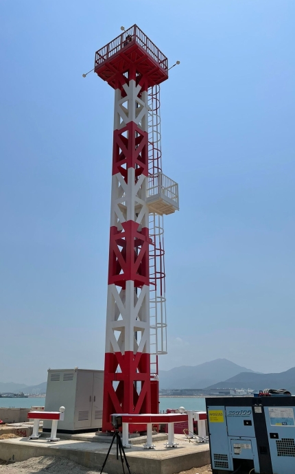
ESL provide survey management and survey staff on HKIA resurfacing work. Asphalt paving control is by a fully automatic paving system.

With tight work schedules and unmovable finish times this work reflects our ability to work to the clients requirements. Our first resurfacing project was 10 years ago.

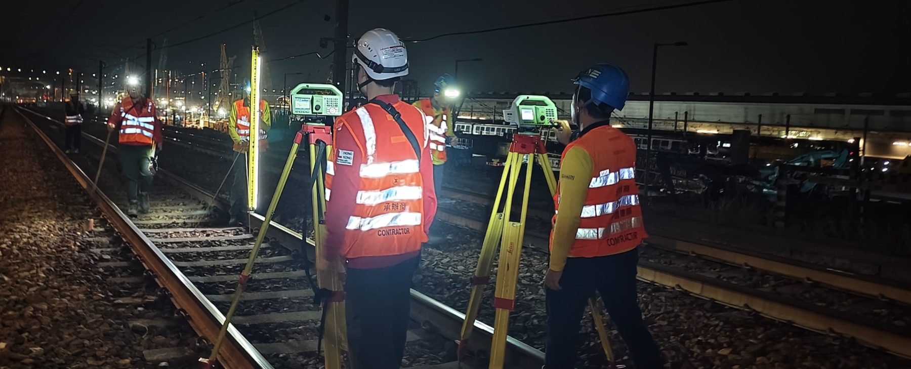
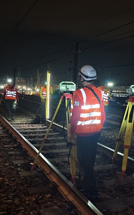
NSL Independent Monitoring Works

Independent Monitoring often requires work outside normal hours.

SCL 1121 NSL Cross Harbour Tunnels

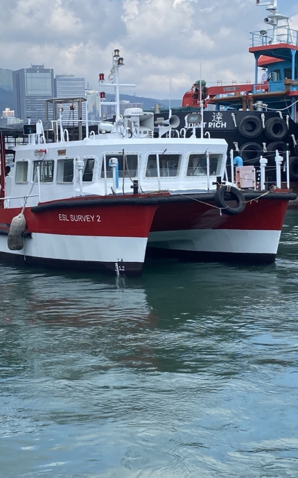
ESL are providing construction survey services both on land and at sea. We are providing survey management, hydrographic and land survey services for the entire project.
Amongst our specialist services ESL have set up a GNSS base station at Hung Hom using Trimble receivers configured to receive GPS/GLONASS/BEIDOU and GALLILEO signals providing +/-10mm horizontal and vertical accuracy across the harbour.

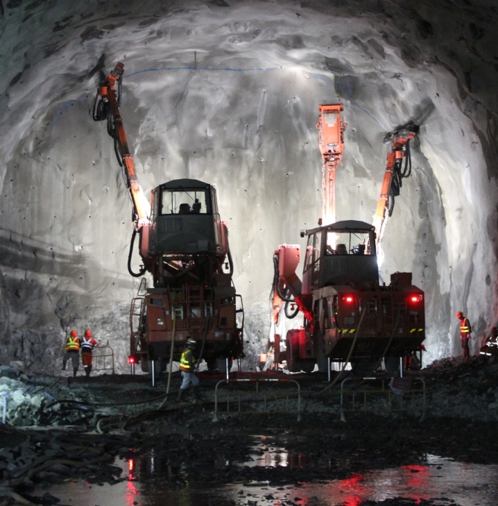
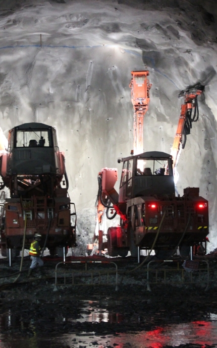
Underground Construction Survey Services

ESL have provided survey management and construction support services from site handover to completion.

Marine Support Projects

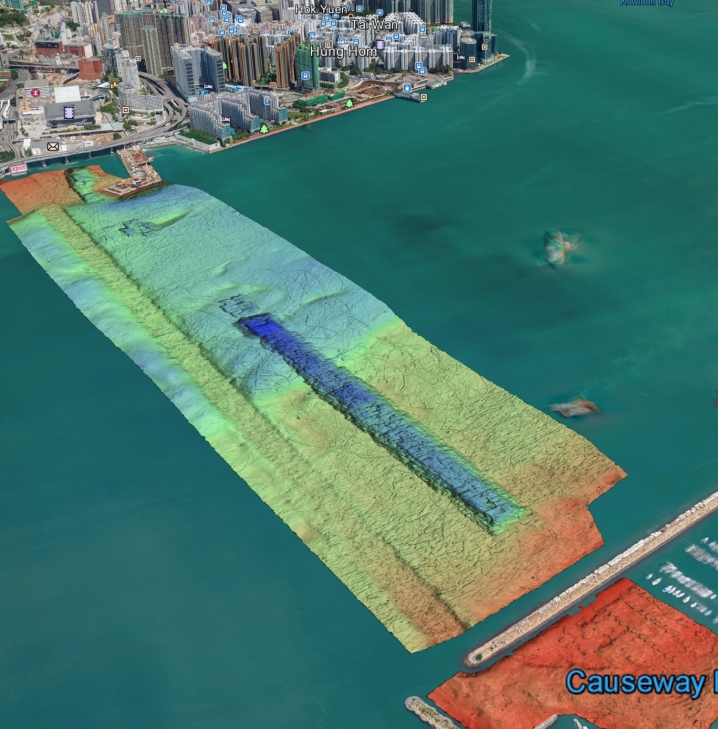
ESL are providing Survey Manager to Survey Teams on the MTRC Immersed Tube Tunnel from Hung Hom to Causeway Bay. Our survey work covers IMT casting, Dredging, Gravel Spreading and IMT deployment.

We are also providing Independent Seabed and Geophysical services to the HKAA during the 3RS project as well as a number of other marine construction projects including the TKO reclamation and T2 tunnel.

Civil and Buildings Support Projects

ESL Macau Projects

ESL Macau provided Survey Management and Construction support services.

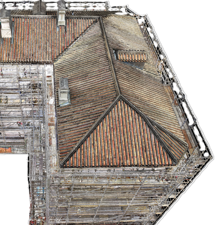
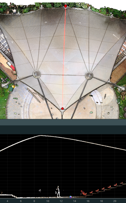
The unique exoskeleton required specialist 3D knowledge and CAD skills from our site team.

Laser Scanning and Mobile Mapping Projects

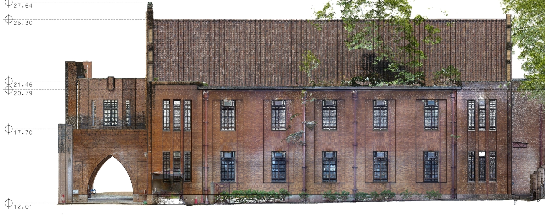
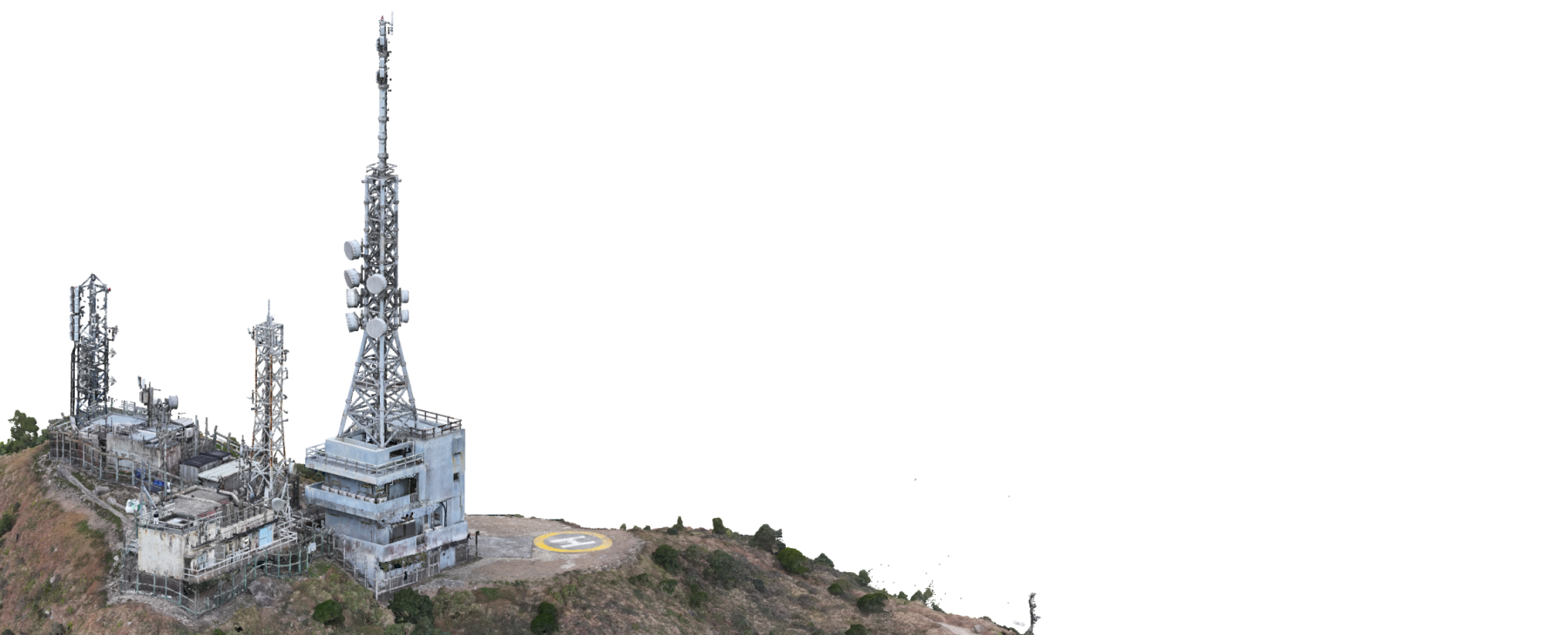
Laser Scanning is increasingly being used to check fixing details for complex fit out.

Hydrographic Survey Projects

Survey work includes initial and final Hydrographic survey by multi beam echo sounding and monthly interim surveys by single beam. We also provide an electronic tide gauge on site uploading to an FTP site.

UAV Photogrammetry and Reality Capture Projects

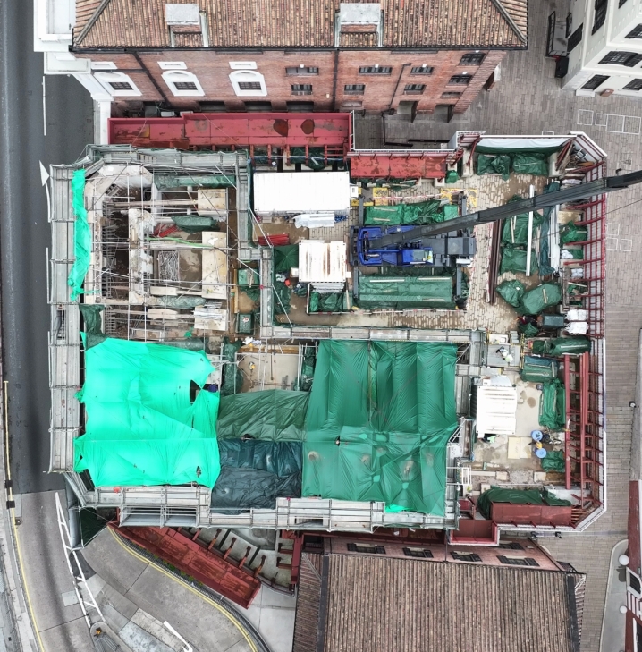
To design a carnival layout over a large extent an Orthophoto provides a quick and efficient solution.

Geotechnical Instrumentation and Monitoring Projects

Land, Engineering, and Hydrographic Surveyors in Hong Kong
  • Home
  • Services
  • Some of our Projects
  • About
  • News
  • Contact Us

© Engineering Surveys Limited
Web Design by Turtle Media