


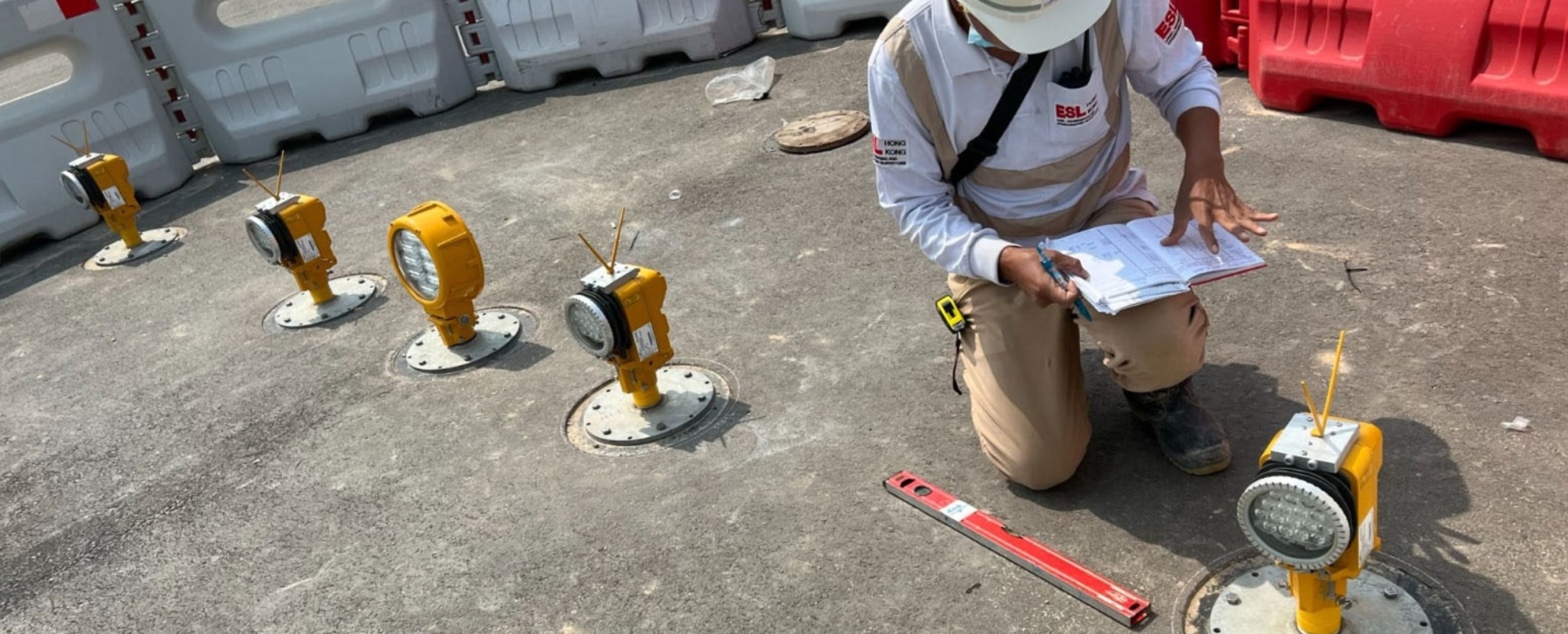
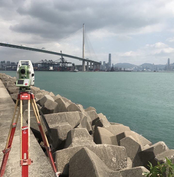
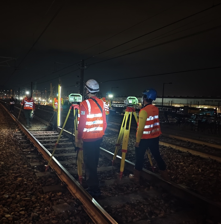
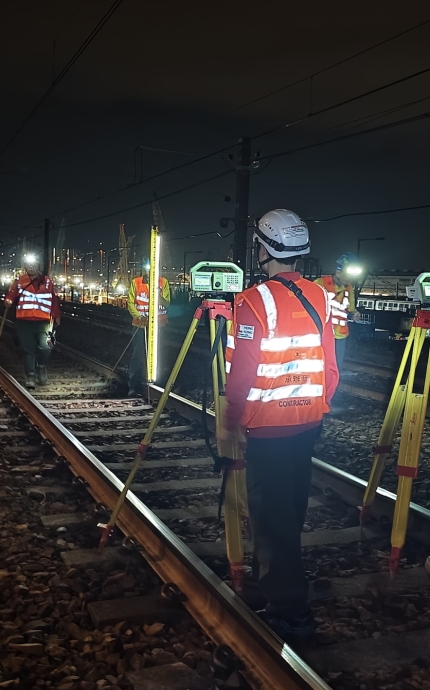
Geodetic, Land & Engineeering Surveys
For 25 years.
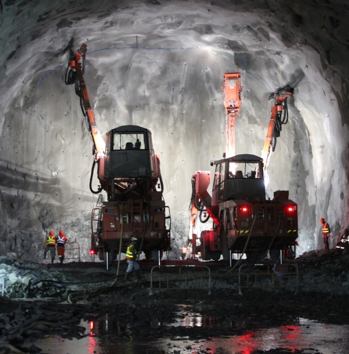
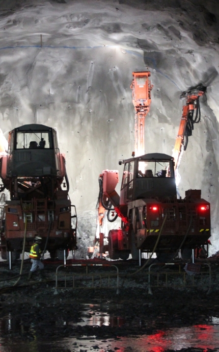
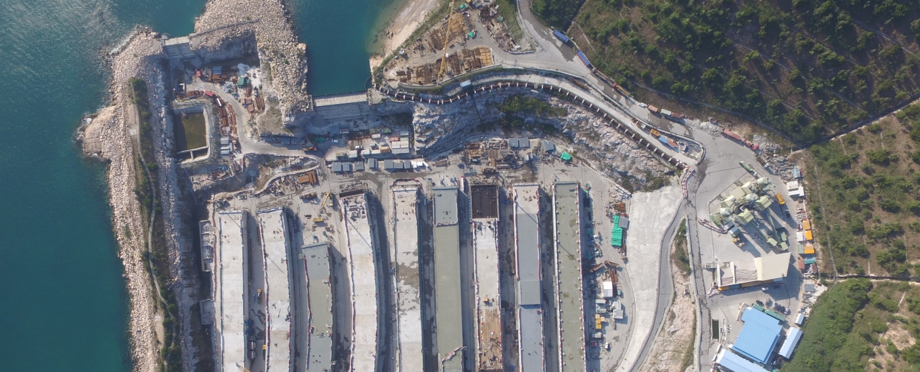
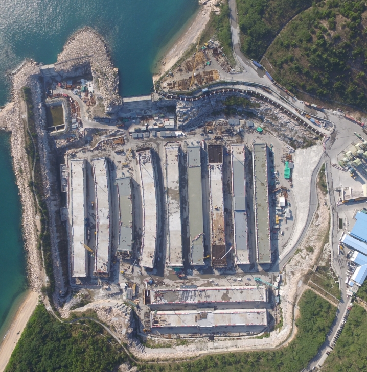
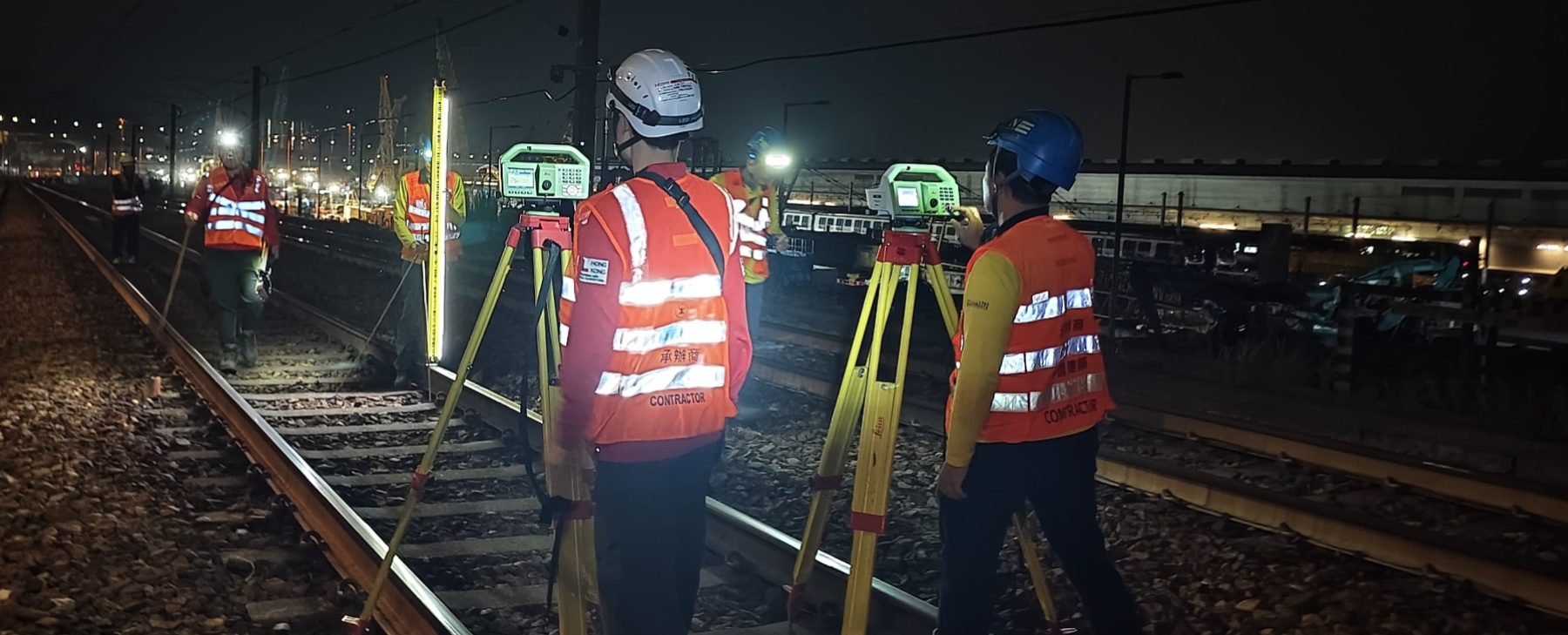
Civil Infrastructure Support Services
For 25 years.

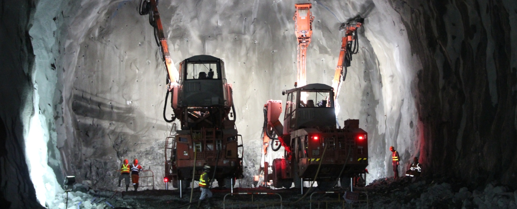
Engineering Support Services
For 25 years.
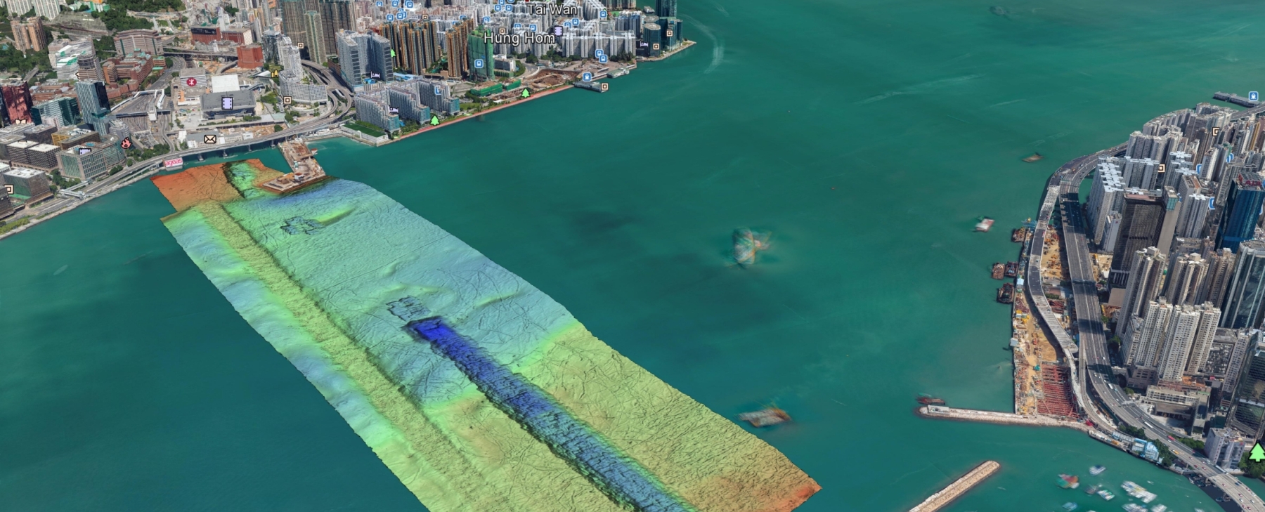
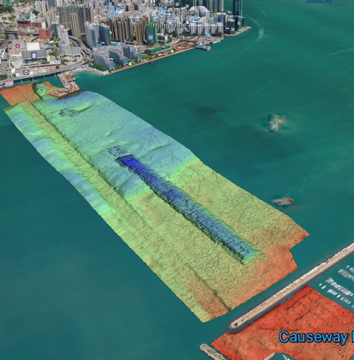
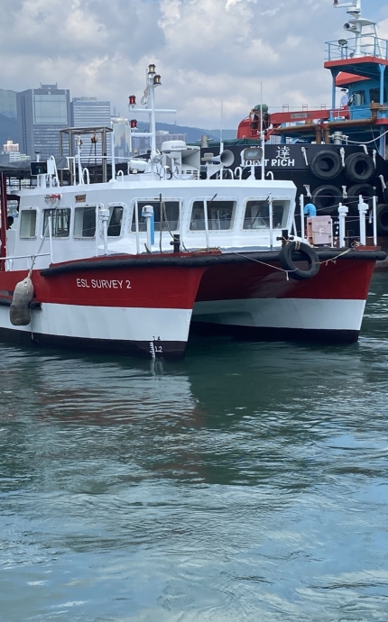
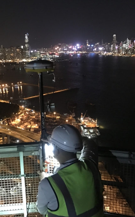
Hydrographic Survey & Marine Construction
For 25 years.
Geotechnical Monitoring & Instrumentation
For 25 years.
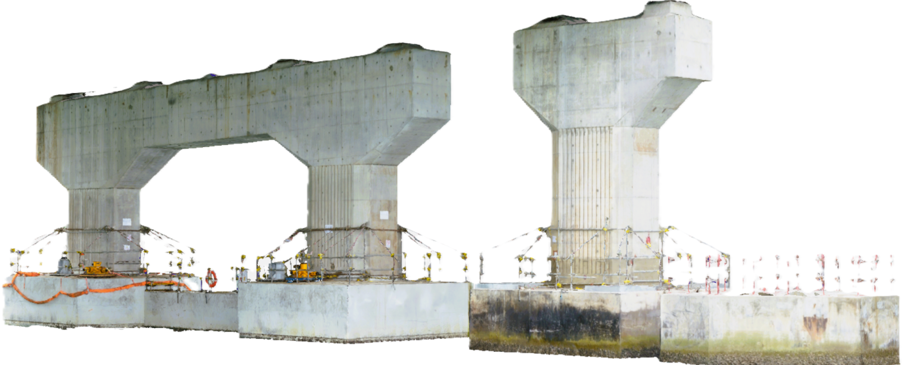
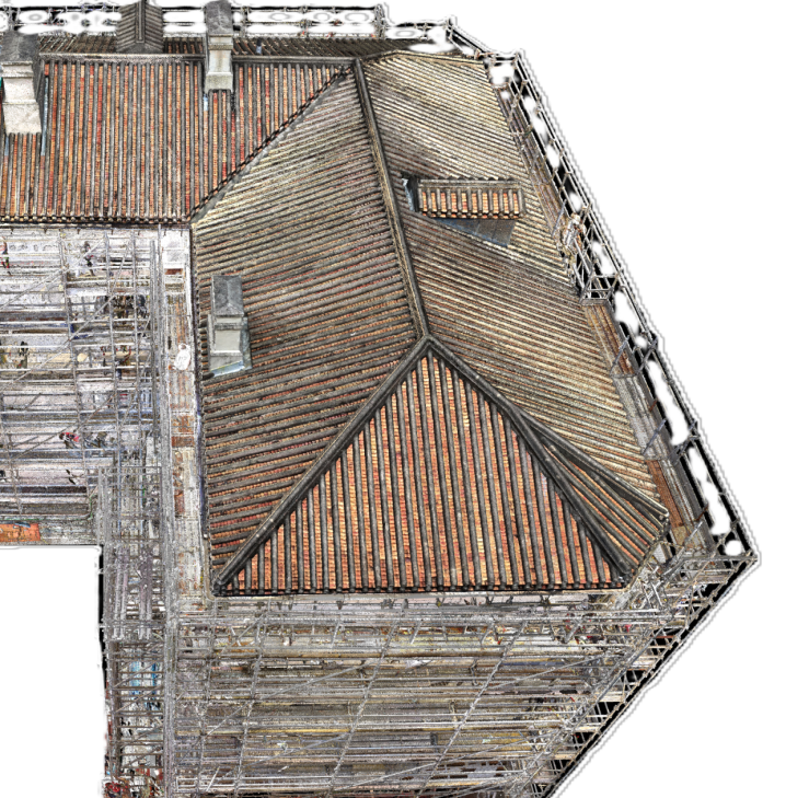
Spatial Data to BIM & Virtual Construction
For 25 years.
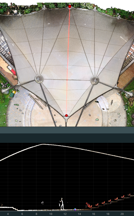
Laser Scanning & 3D Topographic Surveys
For 25 years.

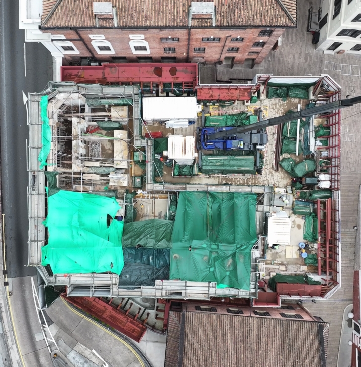
UAV Mapping & Low Altitude Economy (LAE)
For 25 years.