All News
CIC Certified BIM Manager
ESL Director Gordon Ferrier has been added to the list of CIC Certified BIM Managers.
This will assist in projects where the BIM component requires a Certified Manager. CIC are currently the certifying body in HK.
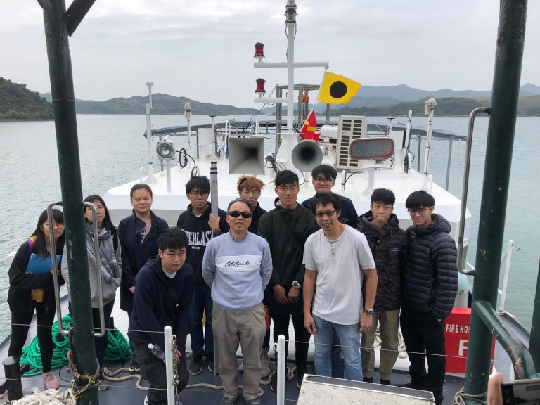
Company NewsHK Polytechnic University Hydrographic Survey Camp
Paul, Jaden and Matthew recently hosted the Polytechnic University survey camp in Sai Kung on board “ESL Survey 2”. Despite the untimely Virus the camp went ahead as scheduled and was enjoyed by all.
High Level Scanner Mount
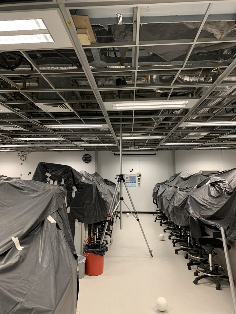
ESL Have recently tested a high level (up to 6m) scanner mount for scanning MEP ceiling space’s. Combined with ReCap “Realview” this is a great assistance to BIM modelling.
GeneralUltra High Resolution Multi Beam

Shipwreck in Victoria Harbour captured at a depth of 25m using our Ultra High Resolution MultiBeam.
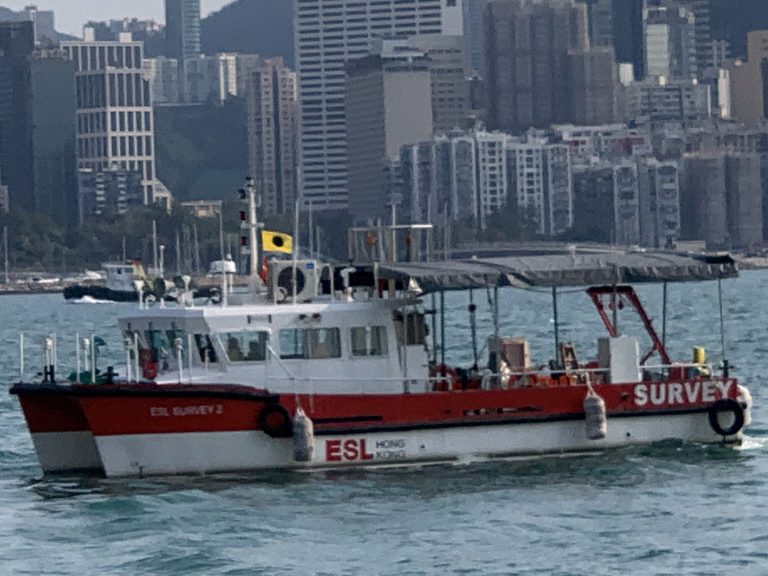
GeneralESL Survey 2 arrives in Hong Kong
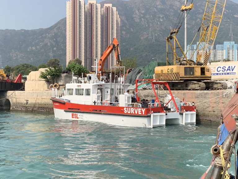
After 18 months Design and Construction in Guangzhou “ESL Survey 2” has been delivered.
With a 40 square meter back deck, multiple sensor mounts and launch/recovery systems this vessel allows ESL to deploy a wider range of survey systems than could be accommodated on ESL Survey 1. Our first boat shall still be used for shallow water surveys while “Survey 2” shall be utilised where multiple sensor options such a Multi-Beam, UAV Photogrametry and Laser Scanning are required.
More to follow…
Industry News